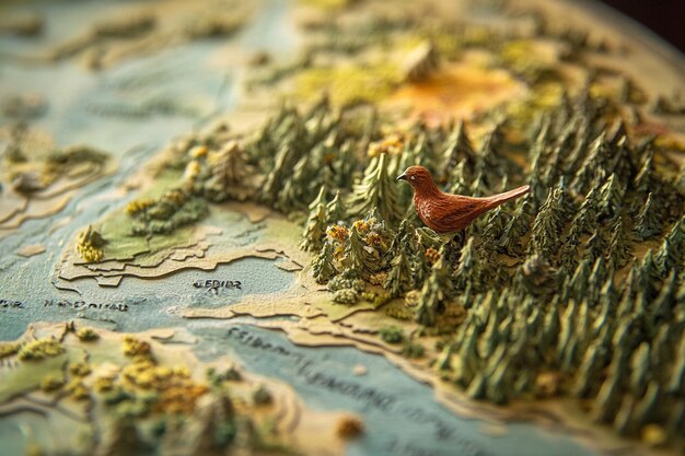
What if we told you that the silent sentinels of the night—those wide-eyed, feathered philosophers of the forest—are leaving behind a trail of clues so vast, it can only be deciphered from the heavens? Owls, those enigmatic creatures of twilight, are not just whispering secrets to the wind. They are broadcasting their presence across the electromagnetic spectrum, painting their life stories in pixels that satellites capture with cold precision. This is not mere ornithology. This is a revolution in conservation, a celestial cartography of owl habitats and migration routes that could redefine how we protect these nocturnal guardians of biodiversity.
The Celestial Cartographers: How Satellites Are Unveiling Owl Realms
Imagine, if you will, a world where the forest floor is not just a tangled web of roots and shadows but a vast, three-dimensional puzzle. Satellites, those tireless voyagers of the void, are turning this puzzle into a living map. Using high-resolution imagery and thermal sensors, they detect the faintest thermal signatures of owl nests—those hidden alcoves where life begins in the hush of dusk. But it doesn’t stop there. Hyperspectral imaging, a technique that dissects light into its constituent colors, reveals the health of the vegetation that owls depend on. Is the forest thriving? Are the prey populations abundant? The satellites know. They see the invisible threads that bind owl survival to the land itself.
Yet, this is no passive observation. It is an act of defiance against the creeping shadows of habitat loss. For decades, owls have been the silent victims of deforestation, urban sprawl, and climate change. But now, with satellites as their allies, conservationists can track the ebb and flow of owl territories in real time. No longer are we bound to ground surveys that are as laborious as they are limited. The sky has become our collaborator, offering a bird’s-eye view of a world that owls call home.
The Migration Enigma: Do Owls Have a Compass in the Stars?
Here lies the tantalizing mystery: do owls navigate by the stars, or is their migration a dance of instinct and opportunity? Satellite imagery has begun to unravel this riddle. By tracking the movements of tagged owls across continents, researchers have discovered that some species embark on epic journeys, traversing thousands of miles with a precision that defies mere chance. But how? The answer may lie in the interplay between Earth’s magnetic field and the owl’s internal compass—a biological marvel that turns the planet itself into a navigational aid.
Yet, this revelation comes with a challenge. What happens when the skies themselves become unreliable? Light pollution, a scourge of the modern world, disrupts the celestial cues that owls rely on. A city’s glow can blind a migrating owl, sending it astray. Satellites, in their detached vigilance, have captured this tragedy unfolding in real time. They show us the stark contrast between the unspoiled darkness of ancient forests and the blinding sprawl of human development. The question lingers: can we rewire our cities to be less hostile to the night’s winged messengers?
The Silent Threat: How Climate Change is Reshaping Owl Territories
Climate change is not a distant specter—it is a present-day sculptor, reshaping the landscapes that owls have called home for millennia. Satellites have become the timekeepers of this transformation. They reveal how rising temperatures are pushing owl habitats northward, how droughts are withering the prey-rich woodlands they depend on, and how shifting seasons are desynchronizing the delicate balance of predator and prey. The boreal owl, once a denizen of the deep north, is now venturing into new territories, its range expanding like a ripple on a pond.
But this migration is not a joyous expansion. It is a desperate scramble for survival. As owls colonize new areas, they encounter unfamiliar predators, competing species, and fragmented habitats. Satellites expose the fractures in this new world order, highlighting the urgent need for corridors—green highways that allow owls to traverse the changing landscape without peril. The challenge is clear: can we, as stewards of the Earth, create these corridors before the owls’ ancient rhythms are lost to the chaos of a warming planet?
The Data Deluge: Can We Keep Up with the Sky’s Revelations?
Herein lies the paradox of our age: we are drowning in data, yet starving for wisdom. Satellites pour forth a deluge of information—terabytes of imagery, thermal maps, and migration tracks—each pixel a fragment of an owl’s life. But how do we make sense of it all? Artificial intelligence has emerged as our indispensable ally, sifting through the noise to identify patterns that human eyes might miss. Machine learning models can now predict owl habitats with astonishing accuracy, flagging areas of concern before they become ecological wastelands.
Yet, the sheer volume of data presents a daunting challenge. Conservationists, already stretched thin, must grapple with the complexity of these datasets. How do we translate raw numbers into action? How do we ensure that this technological marvel does not become a tool of exclusion, where only the well-funded can afford to listen to the whispers of the owls? The answer may lie in collaboration—bridging the gap between scientists, policymakers, and local communities to turn data into tangible protection.
The Future of Owl Conservation: A Call to the Night
The age of satellite-enabled owl conservation is still in its infancy. But already, it has shown us that the night is not a void—it is a canvas, and owls are its most enigmatic artists. Their migrations are not just journeys; they are stories of resilience, adaptation, and survival. And now, for the first time in history, we have the tools to listen.
Yet, the challenge remains: will we rise to the occasion? Will we use this knowledge to rewrite the fate of owls, or will we let the shadows of indifference swallow their voices once more? The satellites are watching. The owls are waiting. The question is ours to answer.